USA states + territories from SHP to TOPOJSON
NOTE: This is work completed as part of my tenure as data scientist at the National Endowment for the Humanities. It is in the public domain under a CC0 license. I have linked to the fork I made for purposes of stability.
USA states + territories from SHP to TOPOJSON
This repository contains scripts that will convert US Census cartographic boundary shapefiles to lightweight topojson files, which include all 50 states, the District of Columbia, and five permanently inhabited territories: American Samoa, Guam, Northern Mariana Islands, Puerto Rico, and the U.S. Virgin Islands.
Pre-built topojson files for the years 2014 to 2023 are contained in the repository:
/data/json/unproj- unprojected files/data/json/proj- files projected using a modified version of the Albers projection that relocates Alaska, Hawaii, and territories to areas under the contiguous 48 states
Files are at three geographic levels (state, county, and congressional district) and three resolutions (500k, 5m, and 20m).
Building the files
Dependencies
In order to build the maps, you will need the following Javascript libraries installed on your machine:
- shapefile
- ndjson-cli
- topojson-server
- topojson-simplify
- topojson-client
- d3-geo-projection
- geo-albers-usa-territories
You can get them each through npm: npm install <package>
You will also need the following scripts in the js directory:
condist_properties.jscounty_properties.js
To build maps
To build all topojson files, run the following command inside the scripts/bash
directory:
$ > cd ./scripts/bash
$ > ./batch -s YYYY -e YYYY -r 500k,5m,20m
where
[-s]       Survey year start
[-e]       Survey year end (if blank, assumed same as start)
[-r]       Resolution: 500k, 5m, 20m
[-p]       Project (AlbersUsaTerritories)
For example,
$ > ./batch -s 2014 -e 2023 -r 5m
will build unprojected 5m resolution files for all years between 2014 and 2023,
inclusive. You can build all resolutions by separating each resolution after the
-r flag with commas:
$ > ./batch -s 2020 -e 2021 -r 500k,5m,20m
If you leave out the -e flag, the script will build only the year after the
-s flag.
If you wish to pre-project the file using the AlbersUsaTerritories
projection,
which can save the processing required to make projections at runtime (speed
up), then add the -p flag:
$ > ./batch -s 2020 -e 2021 -r 5m -p
In all cases, final topojson files will be saved in either the
data/json/unprojected or data/json/projected directory as determined by the
-p flag.
Boundaries
Files are at three levels:
- State
- County
- Congressional district
Each file contains boundaries for its level as well as those above it.
- State levels:
statenation
- County levels:
countystatenation
- Congressional district levels:
cdistrictstatenation
Projections
To project the unprojected topojson data files to match the pre-projected files
(non-contiguous states and territories are moved for easier mapping), you will
need to use the JSON scripts located in assets/js:
d3.v7.min.jstopojson.min.jsgeoalbersuster.js
The first two scripts are general libraries necessary for working with D3 and topojson files. The third file contains the scripts necessary for projecting the unprojected maps with the key function:
const projection = geoAlbersUsaTerritories.geoAlbersUsaTerritories()
  .scale(1280)
  .translate([width / 2, height / 2]);
const path = d3.geoPath().projection(projection);
The unprojected files, however, can be projected using any other projection available via the D3 projection library.
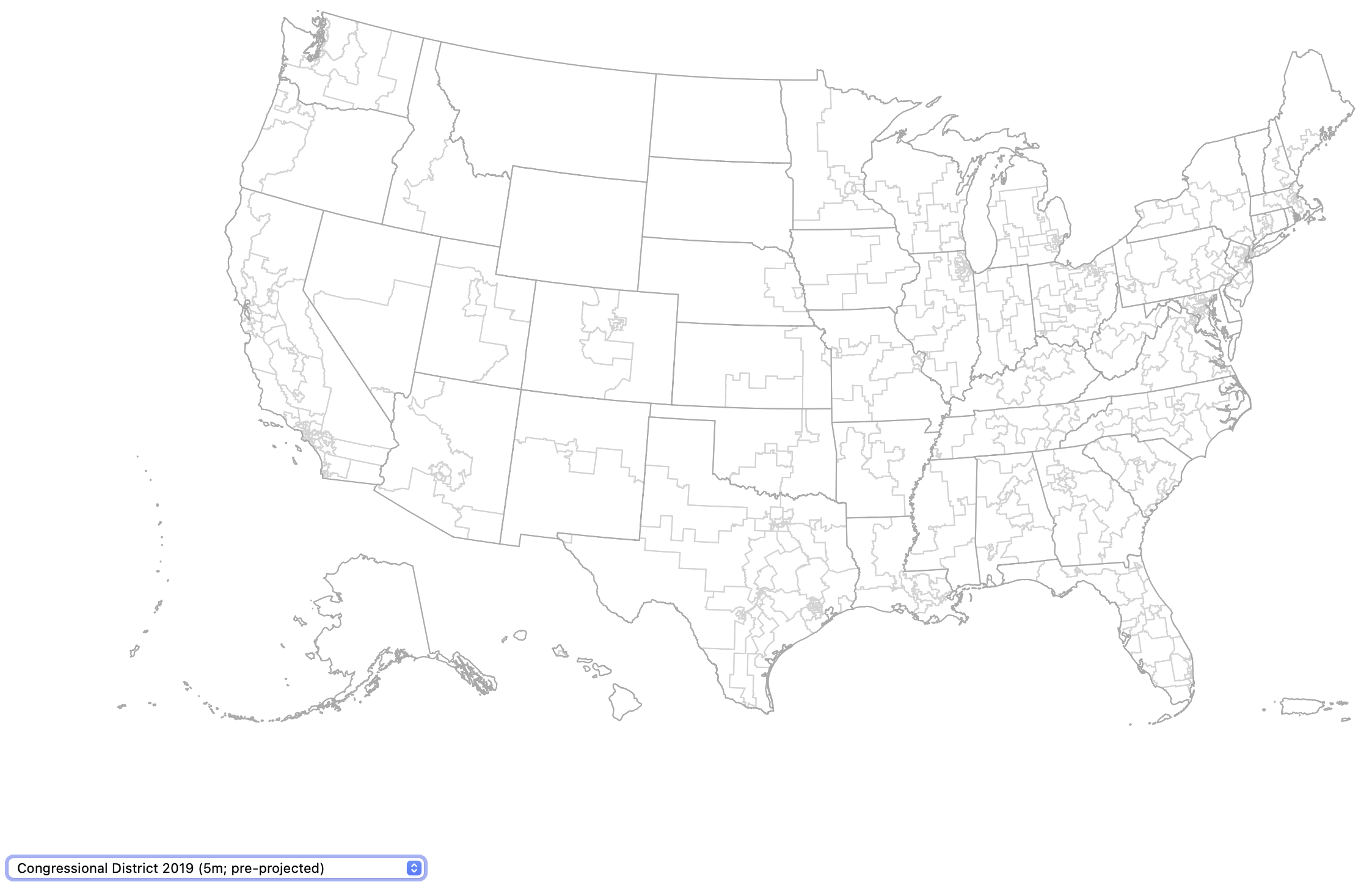
Visualizing built maps
If you would like to visualize the projected maps, start a local server in the
root directory (see: npm
local-web-server) and visit
the localhost page in your browser. From there, you can select the various maps
via a drop down menu.
$ > npm install local-web-server
$ > npx ws
Paste http://127.0.0.1:8000 in your browser.
Using maps in other projects
The script section in index.html can be modified / reused in order to use
these maps in other projects.
Acknowledgments
Disclaimer
This software is licensed under the CC0 license. It is provided “as is” without any warranty of any kind, either expressed, implied, or statutory, including, but not limited to, any warranty that the subject software will conform to specifications, any implied warranties of merchantability, fitness for a particular purpose, or freedom from infringement, any warranty that the subject software will be error free, or any warranty that documentation, if provided, will conform to the subject software. This agreement does not, in any manner, constitute an endorsement by the National Endowment for the Humanities (NEH) or any prior recipient of any results, resulting designs, hardware, software products or any other applications resulting from use of the subject software. Further, NEH disclaims all warranties and liabilities regarding third-party software, if present in the original software, and distributes it “as is.”
The recipient agrees to waive any and all claims against the United States government, its contractors and subcontractors, as well as any prior recipient. If recipient’s use of the subject software results in any liabilities, demands, damages, expenses or losses arising from such use, including any damages from products based on, or resulting from, recipient’s use of the subject software, recipient shall indemnify and hold harmless the United States government, its contractors and subcontractors, as well as any prior recipient, to the extent permitted by law. Recipient’s sole remedy for any such matter shall be the immediate, unilateral termination of this agreement.